Physical Address
304 North Cardinal St.
Dorchester Center, MA 02124
Physical Address
304 North Cardinal St.
Dorchester Center, MA 02124
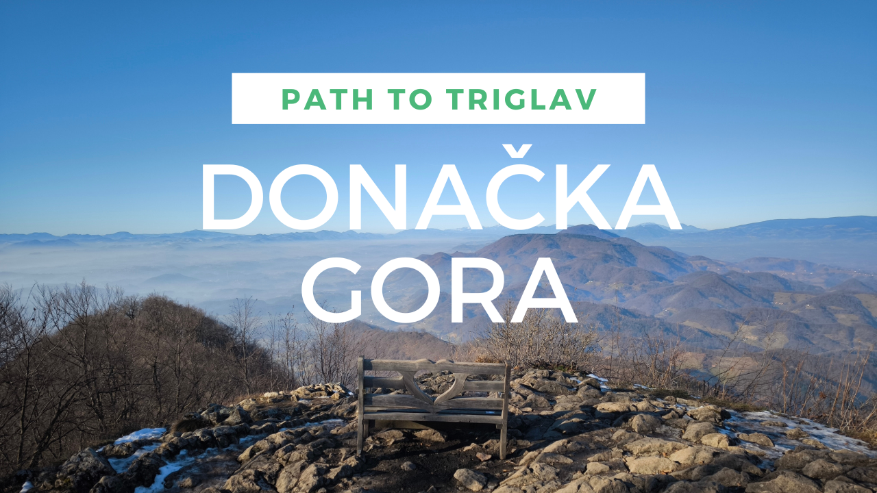
Hike to Donačka gora. Beginning of my project Path to Triglav
Welcome to my hiking project for the year 2025, Path to Triglav. To start it off, we headed to the closest hill to my hometown Ptuj, Donačka gora. Its top is on 884m.
One of the trailheads is located in Kupčinji vrh, which is only a half hour drive from Ptuj. Donačka gora (english name Mount Saint Donatus), got its name from a small church of St. Donatus, which dates back to 1730. It also has another, more local name, Rogaška gora or Rogač, named because of its shape from certain angle (looks like a horn).
Road took us through Kidričevo, over Ptujska gora, Majšperk and Stoperce, where you turn left towards Kupčinji vrh. At the parking spots, locals made a box, so you can put in 1€ for parking. It is not mandatory, but they are doing a really good job with keeping it clean and smooth so I think everyone should do it.
To begin the hike, you start with a few meters through the village between the houses. Past the water trough and towards the stream, where the asphalt ends. Here you head into the forest and start a slow ascent on the way to Rudijev dom, which is the mountain hut on Donačka gora, located at 589m above sea level.
Path takes you upward along the small stream. The path is very well marked with blazes on the trees. In the winter you have to watch out on some shady parts, because it can be icy or muddy under all the fallen leaves. If you take an average tempo and don’t rush too much, you should reach the hut in about 30 minutes if not faster.
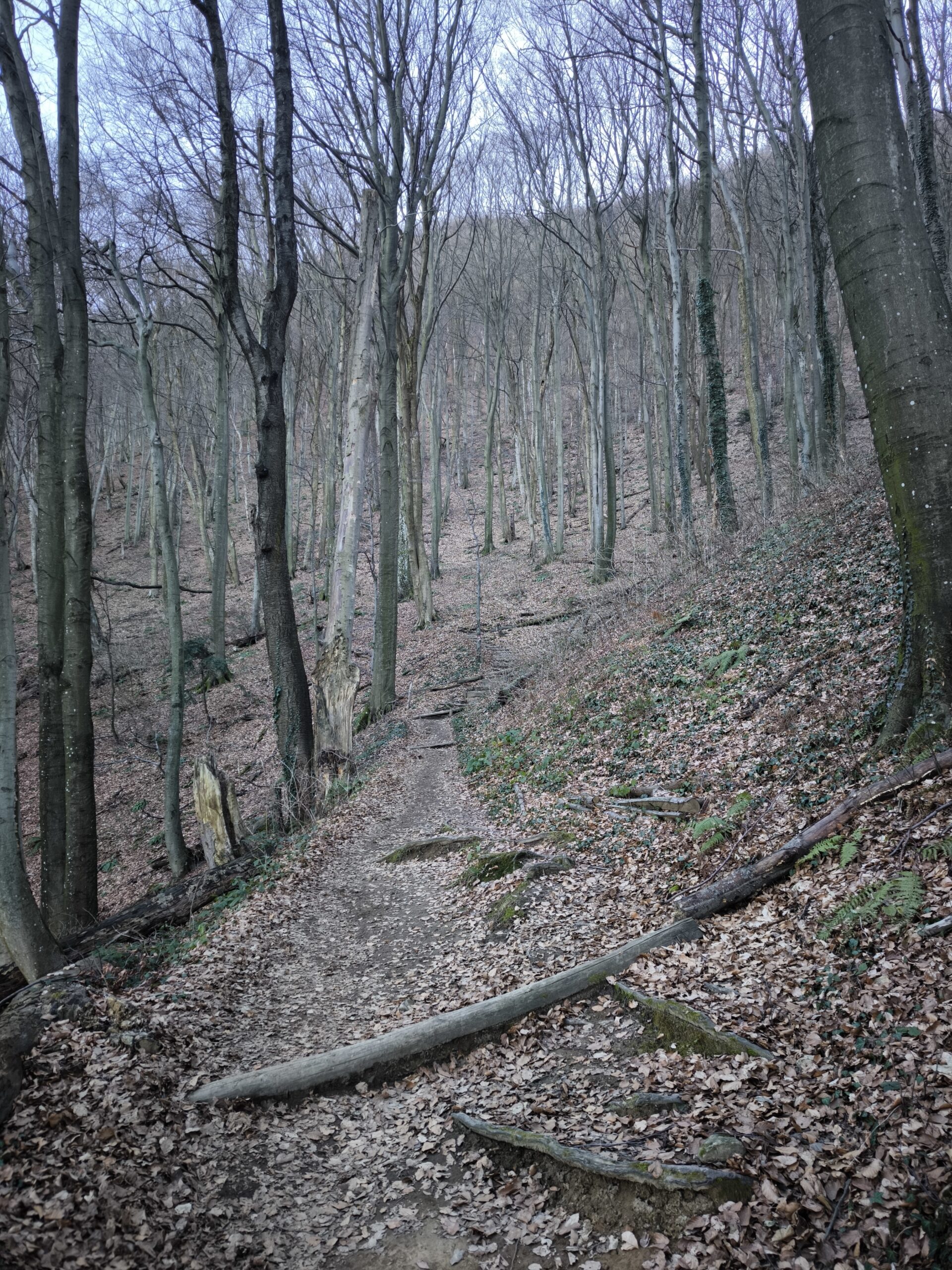
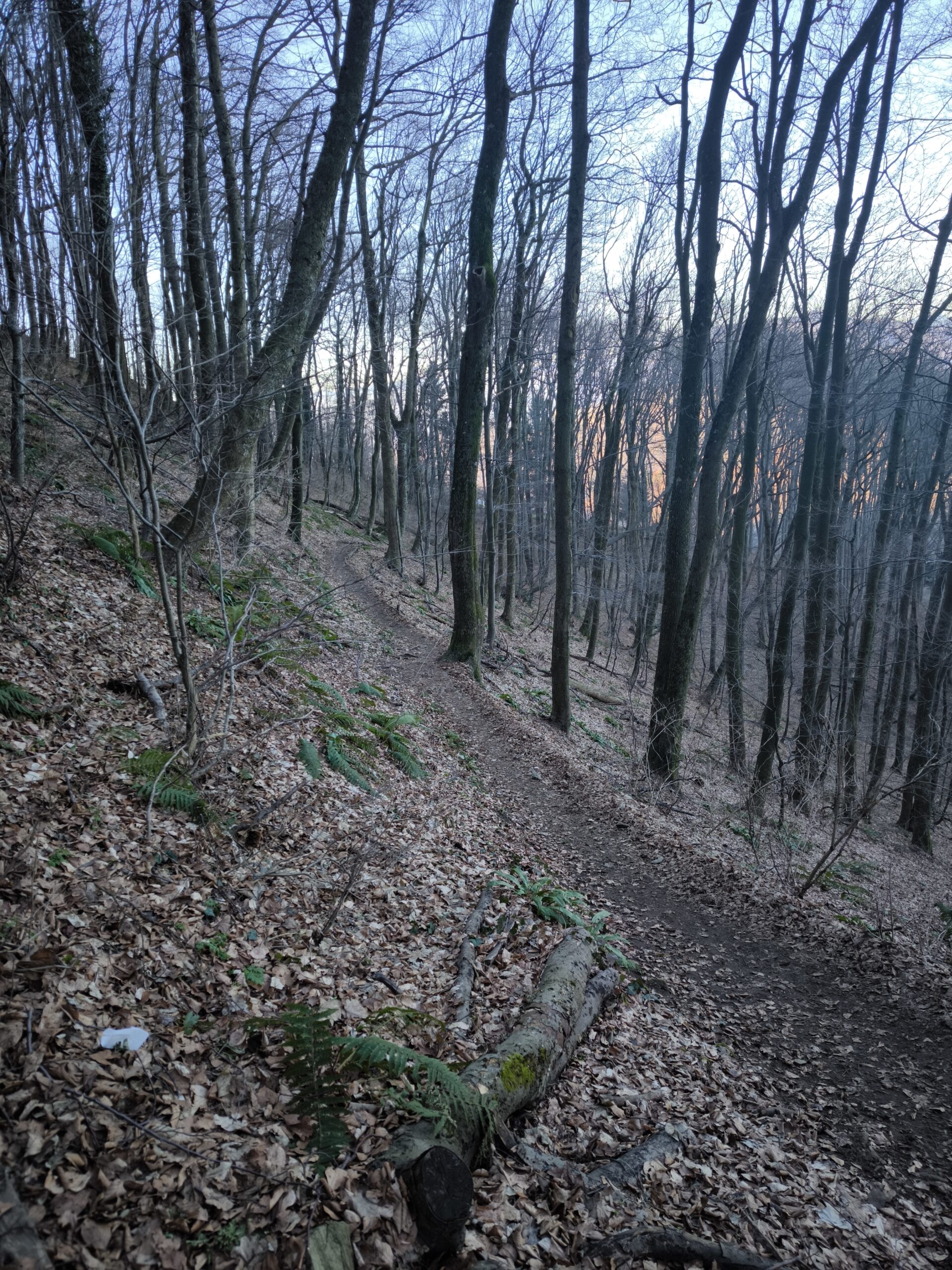
You can also come up to the hut by car, but from the other side of the hill and for me the proper way to go about it is from the bottom. At the hut, you can also get something to eat and drink, go to the toilet or just chill at the benches outside or inside.
From the hut, the signs take us left on the Frolich trail. It starts on the road by the outdoor toilets and a few meters after that we take a right up the hill again. On the boards it says 45min to the top and I would say it’s quite precise for an average hiker.
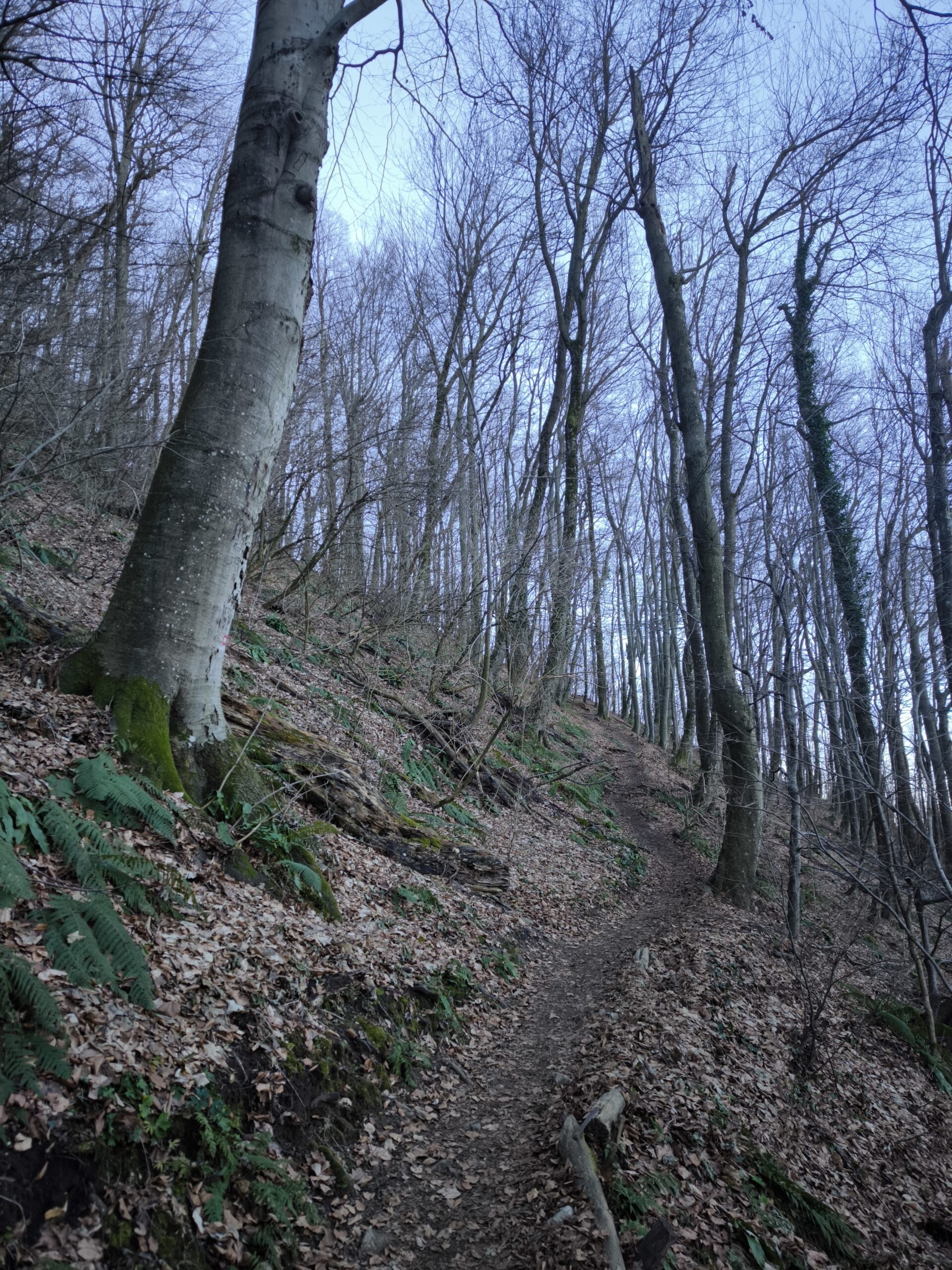
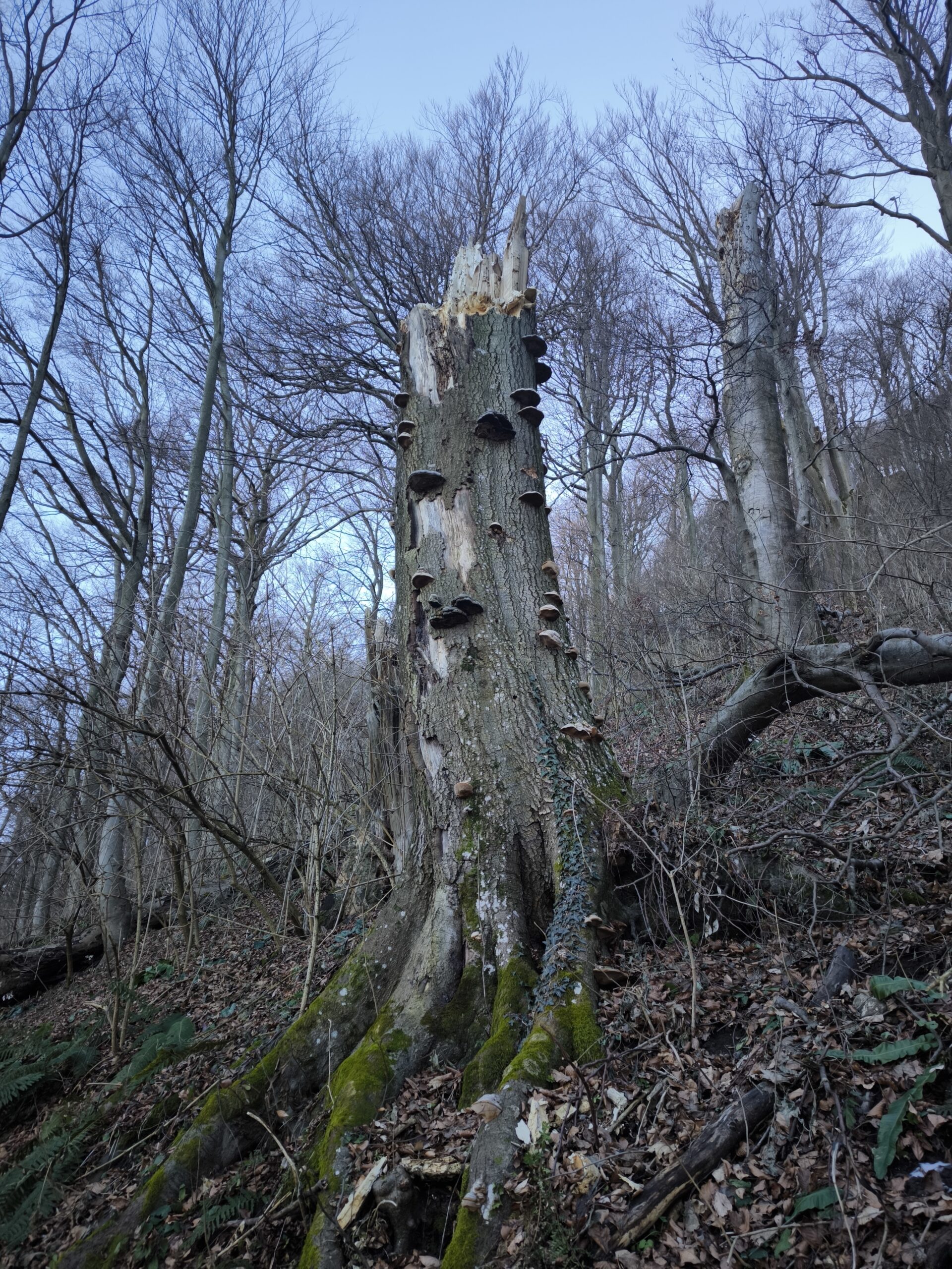
Upper part doesn’t start too steep, taking us through the beech forest, however after about 10 minutes, the ramp starts to become steeper and steeper. It zig zags left and right with some steps in a lot of parts, especially on the hairpins.
As we are approaching top of the hill, the path gets even steeper and we can see more and more rocks and roots out of the soil, especially after the last corner of the slope when we arrive at the ridge. From there we have 5 more minutes to the top, over rocks and roots.
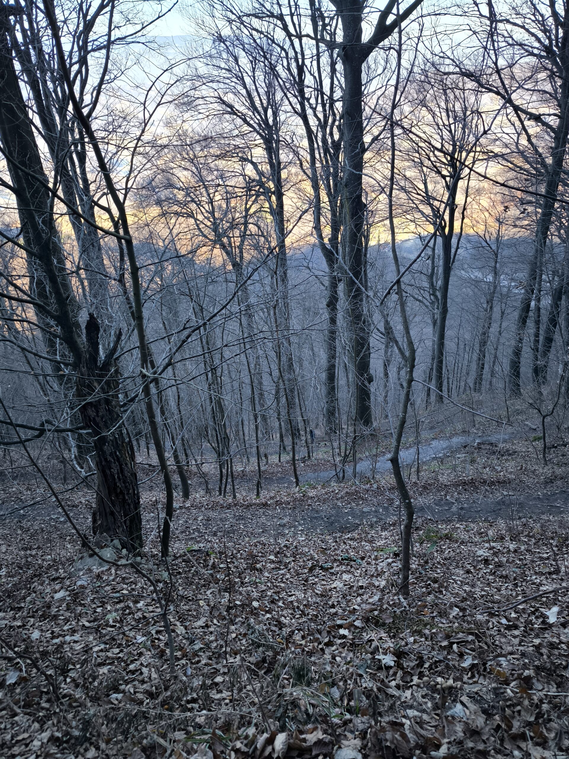
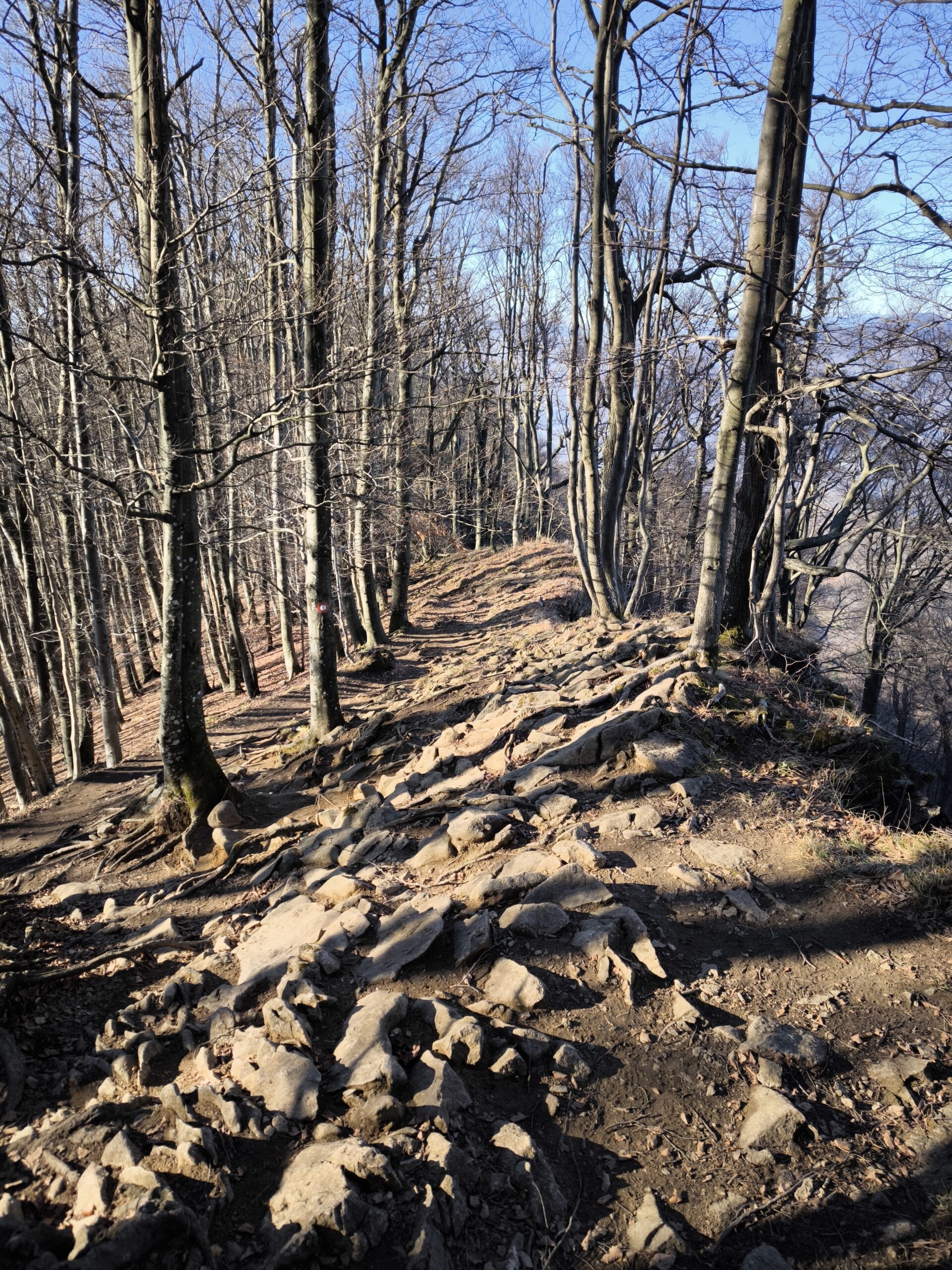
I arrived at the top exactly 1h and 15 minutes since starting at the bottom. Weather was a lot better than in the valley, as you can see the inversion did its job. It was a bit windy at the top, but the termomether showed 6 degrees celsius, compared to minus 3 in the valley. I was alone for about 10 minutes and enjoyed in the views of Boč, Pohorje and all the fog in between.
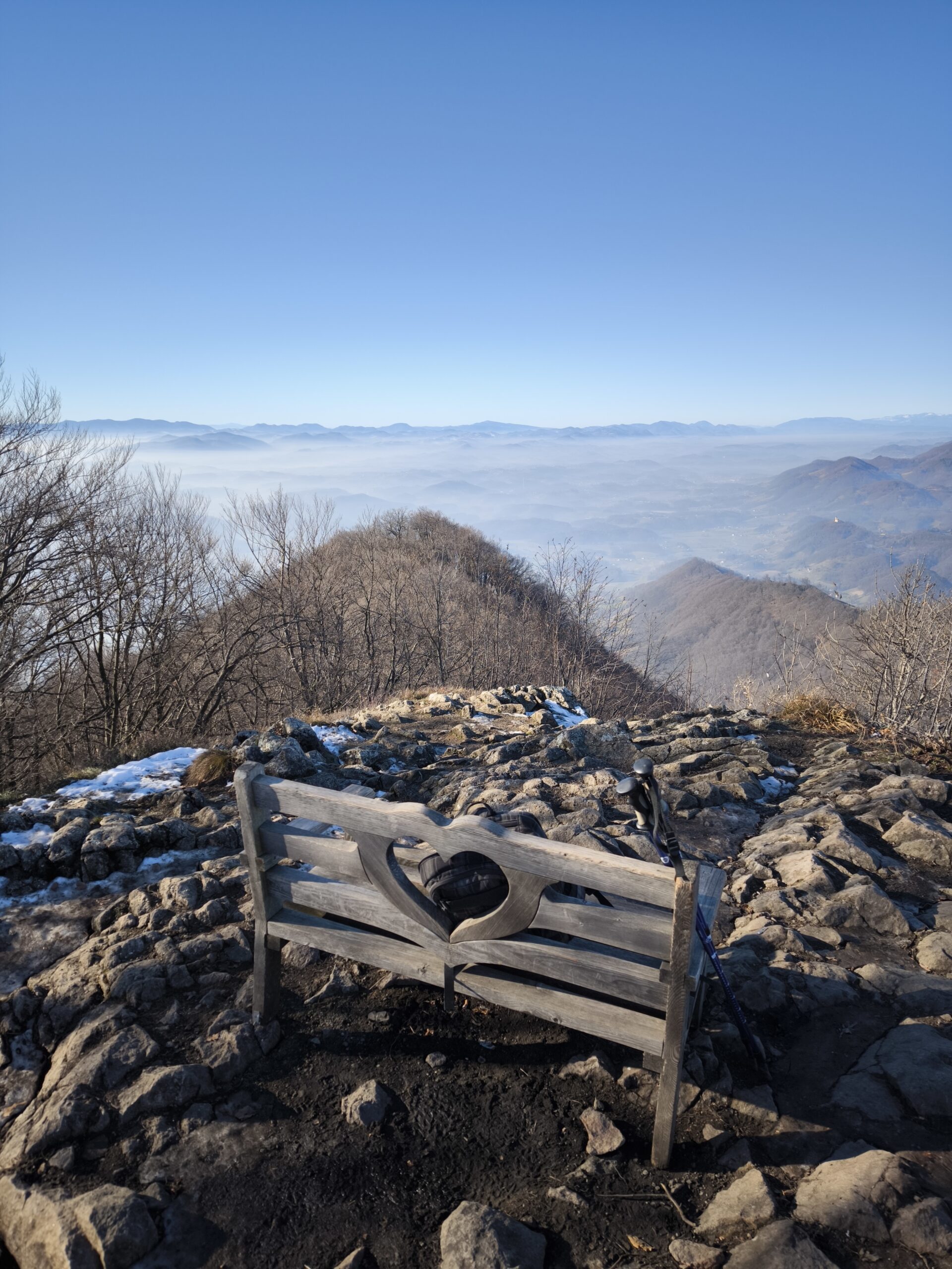
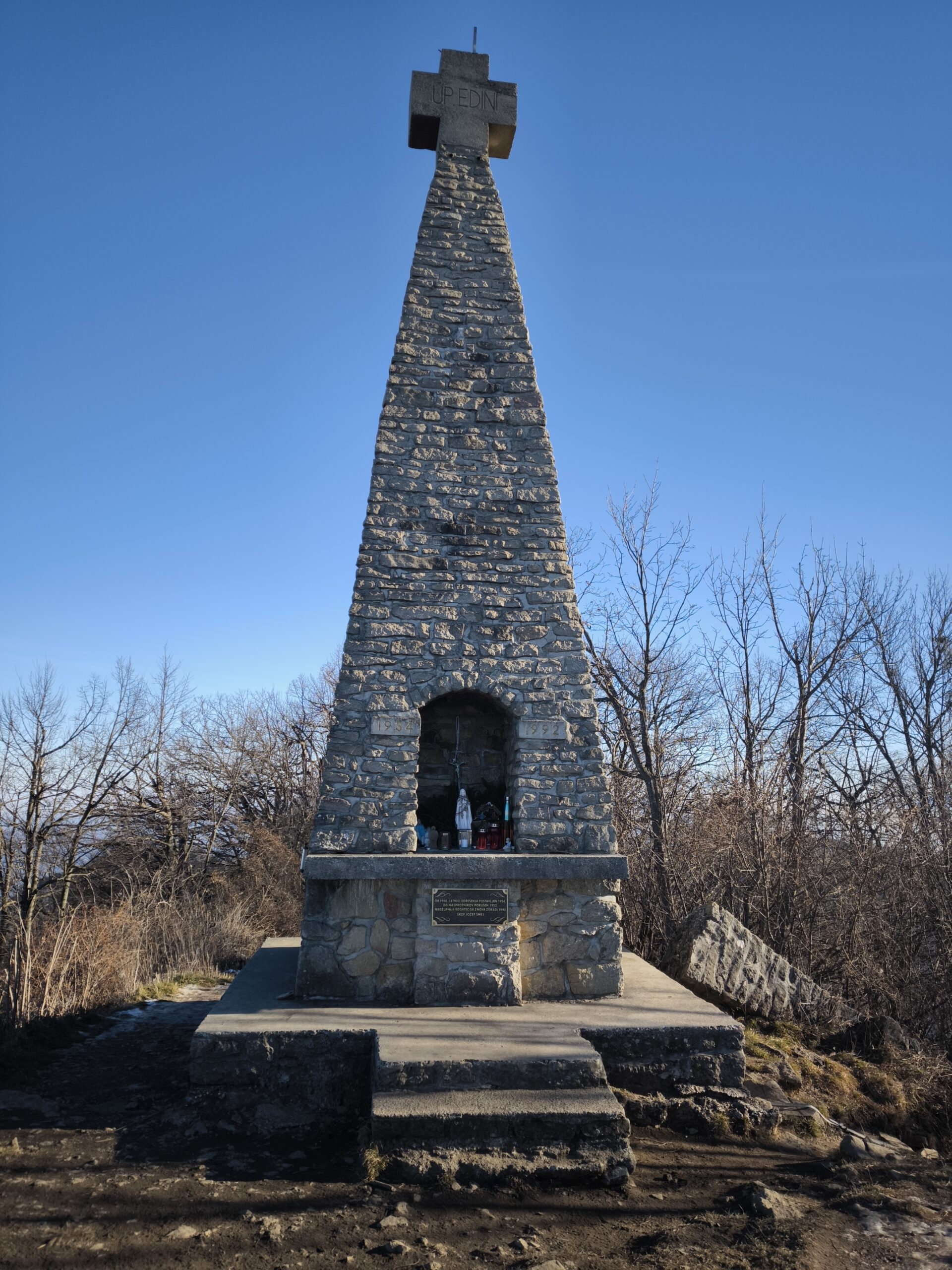
On the top we can find a concrete cross which was built in 1934. Later it was blown up in 1952. Former top of the cross still lies next to it on the floor. It was finally repaired in 1992. A few years back the bench with a heart was also built on top, Which makes it a popular instagram spot.
When I had enough of the wind I started my descent. It wasn’t too bad, except on some places it was a bit muddy and you could easily slip if you weren’t careful. Way down is quite a bit faster than up. I arrived back at the hut after half and hour and then another 20 minutes back to the village.
All in all it was a nice hike to start the project. For sure it would be nicer to do it in the summer, but it’s a really easy climb to the top, so you can do it basically whole year round. It took me 2 hours and 20 minutes with around 10 minutes at the top. So if you are somewhere in the vicinity and love hiking, give it a go and let me know how it was. On to the next one!